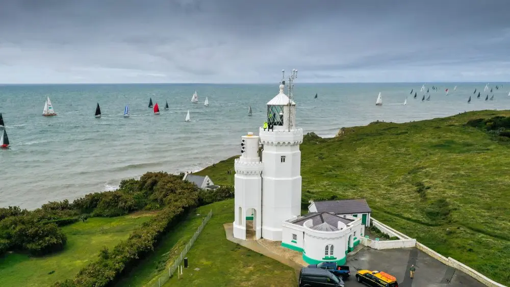
THURSDAY EVENING WEATHER REPORT
Thursday 9th July, our meteorologists provide the predicted weather for the race
Friday July 10th
High pressure moves to west of UK over eastern Atlantic with ridge extending east to north of North Sea. Pressure remains lower over Bay of Biscay and Spain. A dry day with strong very high UV sunny spells. Some fog patches/banks at sea.
Variable 4-8kt or less becoming SE/E/NE 6-12kt at times in morning, and at times E/SE 8-14kt in the afternoon, and late in the day more E/NE 8-14kt, gusts 16-22kt. 22-30⁰C on land, 18-20⁰C at sea.
Seas 0.0 inc 0.5m in the E Solent, 0.1 inc 0.6m in the W
Solent, 0.2 inc 0.8m outside with 5-8s period.
Saturday July 11th
High pressure to northwest of UK over eastern Atlantic.
Pressure lower over Bay of Biscay and Spain. A dry day with strong very high UV sunny spells. Some fog patches/banks at sea. In Solent NE, sometimes E, 8-14kt, gusts 14-18kt.
Potential SE, 5-10kt sea breeze in E Solent for afternoon and early evening. Round back of island NE 8-16kt, gusts 16-22kt, but becoming more E in afternoon and evening. 23-31⁰C on land, 18-20⁰C at sea.
Seas 0.1 inc 0.5m in the E Solent, 0.1 inc 0.4m in the W
Solent, 0.5-0.7m inc up to 1.0m outside with a 4s period.
“Daytime Temperatures Wednesday to Sunday for nearby mainland expected to be high 20s to low 30s Celsius, and over the Isle of Wight expected to be low to mid 20s on south side of island and up to low 30s on north side of island.
HEATWAVE WEATHER WARNING
Night-time Temperatures. Currently no tropical nights expected – temperatures above 20 Celsius overnight – although the forecast may change. As overnight temperatures expected to be in the range 15 to 19 Celsius..”